Norwegian Scenic Routes
The Norwegian National Cycle Network are 10 national cycle routes connecting most of the country. Many of the routes are already signposted and some of them are part of EuroVelo, the European cycle route network.
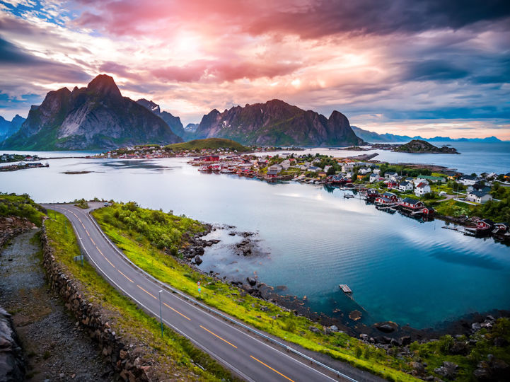
In Norway, you will experience the famous fjords, magnificent mountains, wonderful waterfalls and friendly towns and cities. EuroVelo 1, 7 and 11 all start at the North Cape, which is the northernmost point in Europe that can be accessed by a public road. Norway is an expensive country, but it has some of the most liberal public access and camping laws in the world. You can basically wild camp anywhere, which is good for budget as long as the weather is mild!
The Norwegian National Cycle Network are 10 national cycle routes connecting most of the country. Many of the routes are already signposted and some of them are part of EuroVelo, the European cycle route network.
Website in English - Find information on cycling routes in Norway and many tips to plan your trip: public transport, accommodation, weather, gear, tunnels...
On this website, you will find a pilgrimage planner with maps and information on the routes leading to Trondheim, with details on organised pilgrimages, accommodation, cultural heritage sites and services offered along the routes.
[email protected] (+47) 73 89 08 00Website in English - All you need to know to cycle in Norway: mountain biking, road cycling, scenic routes and tips to plan your cycling trip.
Cycling in Europe? There is an app for that! Our official app is free and designed to help you discover the most developed EuroVelo routes. Thousands of kilometres of cycle routes in the palm of your hand – what are you waiting for? Download the app, get on your bike and start exploring!
This guide covers Finland and the Baltic Sea Coast. The maps in the revised edition are scaled larger at 1:120,000 from Helsinki to Riga, and from Grense Jakobselv to Vaalimaa it remains at 1:400,000. This volume describes the 3700-kilometre-long part of the route from the Barents Sea to Riga.
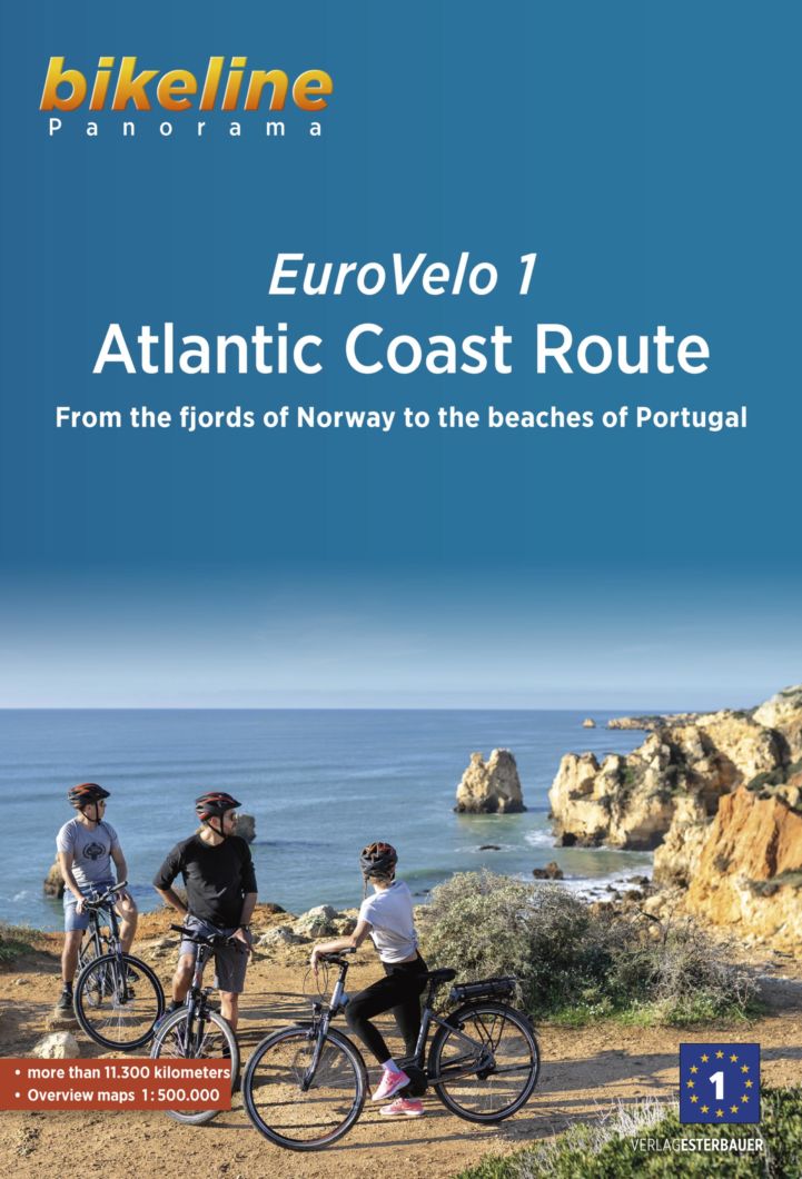
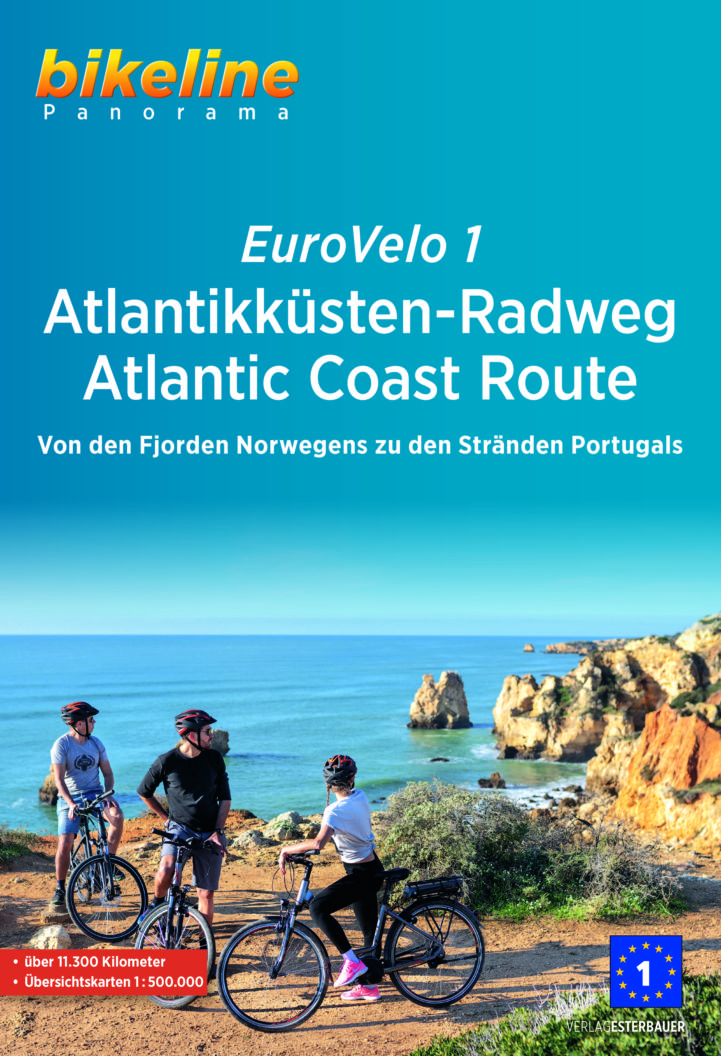
A travel book describing the EuroVelo 1 in its entirety, very useful for preparing your trip with maps at a scale of 1:500,000, general information on the quality of the cycle route (facilities, relief, traffic) and on the regions crossed (climate, tourist attractions, customs, towns and villages of interest). The guide is available in English and German.
With maps on a scale of 1:500,000, city maps, background information and touristic information. Language: German. Available at local- and online book stores. At the end of 2021 it will be also available in English.
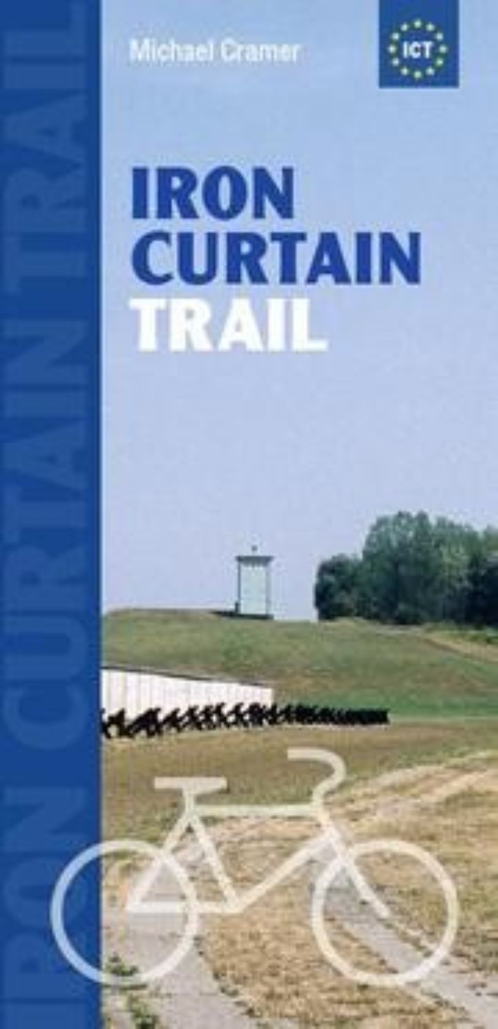
This English-language brochure presents the history of various countries separated by the Iron Curtain. With supplementary overview maps and route descriptions of all stages of the Iron Curtain Trail, this brochure is the perfect travel preparation for EuroVelo 13.