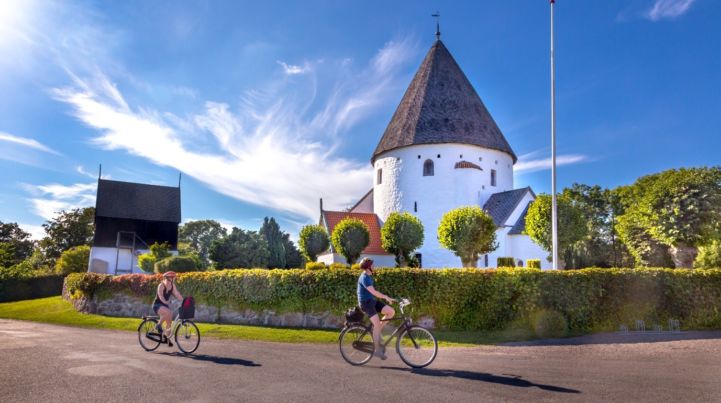
Be prepared for some island-hopping in Denmark. The Baltic Sea Cycle Route follows the Danish national route 8 from Jutland over the isles Als, Ærø, Funen, Taasinge, Langeland, Lolland, Falster, Bogoe and Moen before reaching (the island) Zealand.

Some of the isles are connected by bridges; others by bicycle-friendly ferries. On Zealand, EuroVelo 10 joins the Danish national route 9 and continues to cycling Mecca of Copenhagen. The Danish section of the Baltic Sea Cycle route is 360 km in total. From Copenhagen, you can continue by train over the famous bridge to Malmo in Sweden.

National & Regional Information

Danish Cycling Tourism

National EuroVelo Coordination Centre

Danish Cycling Tourism is a non-profit association of public and private partners. Its main purpose is to develop and promote recreational cycling in Denmark. Since 2016, it has served as the national EuroVelo Coordination Centre for Denmark, and as of 2023, it will host the official online platform for the national cycling routes as well as the EuroVelo routes in the country.

Danish Cyclists' Federation

The Danish Cyclists’ Federation is the only transport organization in Denmark that speaks the cyclists’ cause. We have an ongoing contact with politicians and officials in the parliament and a long list of municipalities – and the Danish Cyclists’ Federation sits at the table when future traffic is debated and solutions to be found.

+45 33 32 31 21

Ruter.dk

Ruter.dk is the official online platform for national cycling routes in Denmark. It provides descriptions of the 11 national routes and suggestions for the best destinations to visit along the way. Additionally, visitors can find assistance on how to plan their vacations and prepare their bikes. The site is hosted by Danish Cycling Tourism.

VisitDenmark

VisitDenmark is the Official Tourism Organisation of Denmark. On their webpage you can find all the information you need about Denmark as a holiday destination.

Discover the circuit on the island of Bornholm!

The website provides GPS download, elevation and route planning.