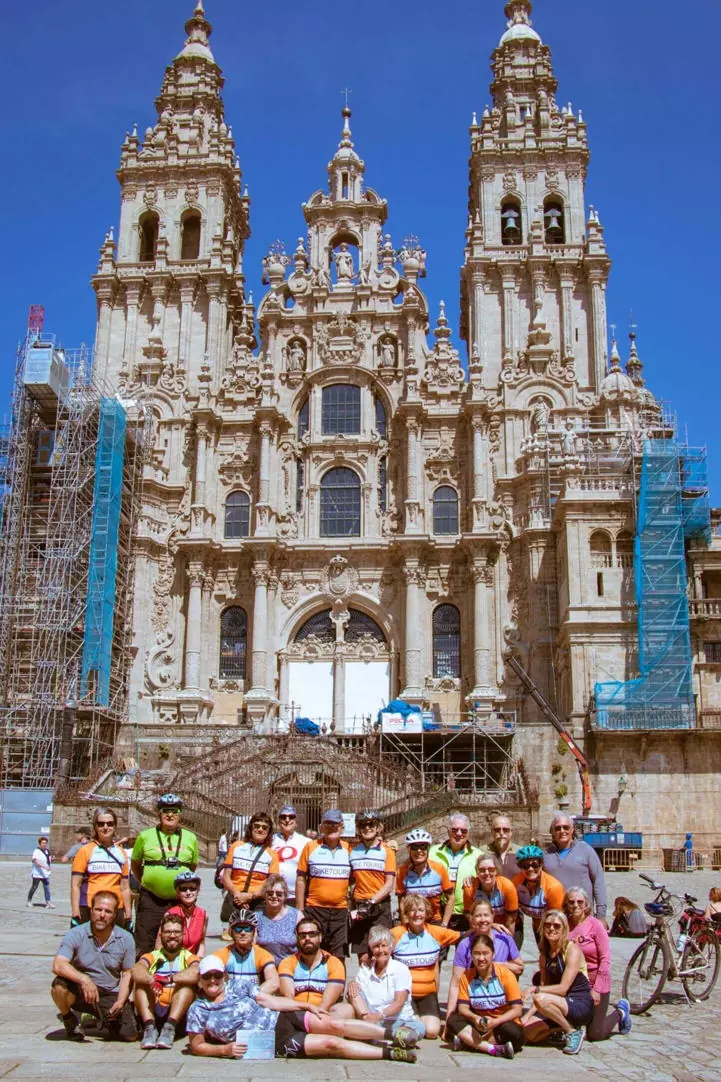
EuroVelo 1 route enters through the French border at Irún and covers 1,685 km over 30 stages to the Portuguese border at Ayamonte. 1,685 km from the Cantabrian Sea to the coast of Huelva, following the Camino de Santiago and the Vía de la Plata Route. Two historic routes that will take you through some of the most impressive cities and landscapes in Europe: the forests of Navarre, cities such as Santo Domingo de la Calzada, a medieval town located in the wine region of La Rioja, the archaeological site of Atapuerca, the historic university city of Salamanca, famous for its impressive architecture and vibrant student life, Cáceres, with its impressive old town declared a World Heritage Site by UNESCO, the thousand-year-old mines of Rio Tinto. After this route, it reaches the coast of Huelva and enters Portugal. From the town of Tui, EuroVelo 1 goes back to Spain, follows the coast of Galicia and ends in Cape Fisterra.
Warning: Due to a collapse in the Montoia tunnel, the section between Endarlatsa and Zalain Zoko is closed until further notice. The unique alternative for now is the national road N-121A for 3,8 km. Check the EuroVelo Spain website for updated information.
Countries
Legend
Development status
Certified
These sections were awarded the official EuroVelo Certification label, ensuring high-quality
cycling conditions.They were surveyed in the field by EuroVelo Route Inspectors to respect
minimum requirements for motorised traffic levels, surface quality, EuroVelo signage,
and access to services as defined by the European Certification Standard (ECS) methodology.
EuroVelo Certified routes are the best options for beginners!
Developed + Signed
These sections offer generally good cycling conditions, with limited motorised traffic, rideable
surfaces, and EuroVelo signs along the route. Developed routes with signs are suitable for most
cyclists. However, short stretches with lower-quality conditions may occur, and it is recommended
to bring a map or navigation app as signs can have defects.
Developed + Not Signed
These sections offer generally good cycling conditions, with limited motorised traffic and
rideable surfaces, but without EuroVelo signs. Developed routes without signs are suitable for
most cyclists. However, short stretches with lower-quality conditions may occur, and it is
warmly recommended to bring a map or navigation app.
Partially Developed + Signed
Cycling is possible here, but conditions vary. Some stretches may have high motorised traffic
or poor surfaces, even though EuroVelo signs are in place. Partially developed routes with
signs are suitable for experienced cyclists only, and it is recommended to bring a map or
navigation app and check national/regional websites for more information. ECF and National
EuroVelo Coordination Centres are working on improvements.
Partially Developed + Not Signed
Cycling is possible here, but conditions vary. Some stretches may have high motorised traffic
or poor surfaces, and EuroVelo signs are not in place. Partially developed routes without signs
are suitable for experienced cyclists only, and it is warmly recommended to bring a map or
navigation app and check national/regional websites for more information. ECF and National
EuroVelo Coordination Centres are working on improvements.
Undeveloped / Unknown
These sections do not meet minimum requirements for motorised traffic levels or surface quality – or
their conditions are currently unknown. They may include dangerous stretches. Cyclists choosing
to cycle there should use a map or navigation app and check national/regional websites for more
information. It is recommended to use public transport to skip these areas where possible.
Public transport link
These sections include continuity across seas or rivers and undeveloped parts of the network
that can be skipped with a reliable public transport connection allowing bicycle transport.
Markers
Natural Heritage
UNESCO World Heritage Site
Cultural Heritage
Culinary Delights
Maritime Heritage / The Rhine / The Meuse
Other Point of Interest
Service
Bus station
Train station
Mobility info center
National & Regional Information
EuroVelo Spain - ConBici
National EuroVelo Coordination Centre
ConBici is the EuroVelo National Coordination Centre in Spain, which is responsible for the development of the bicycle in all its facets, the development of bicycle touring and the promotion of EuroVelo’s commitment to sustainability, air quality and regional development.
The Nature, Culture, and Leisure Viewer is a free web application for planning leisure and free-time activities throughout Spain, thanks to its navigation and search tools. It is a collaborative project developed by the IGN (National Geographic Institute) and the CNIG (National Center for Geographic Information) in collaboration with other organizations and associations responsible for various cultural, natural, historical, and other types of content.
Rutas Ciclistas por España (www.spainbybike.es) is a website developed by the Ministry of Transport and Sustainable Mobility to bring together the main cycling routes in Spain, promoted by different administrations, on a single platform, thus facilitating access to information. It includes routes of one or more days, long-distance itineraries (over 600 km), mountain bike routes, and mountain passes.
The website has been created by the Department of Mobility and Road Infrastructures of the Provincial Council to promote the use of bicycles and disseminate information about this vehicle.
On the website of "cycling-friendly" you can discover through the interactive map or a search filter certified accommodations located not only in Spain, but also in France and Andorra.
The train station is located in the south of the city. From here there are three medium distance trains daily to Seville, one fast long distance train a day to Madrid via La Palma del Contado and Córdoba, and one medium distance trains a day to Jabugo and Sierra de Aracena, which continue north to Zafra and Extremadura.
Huelva Bus Station
Huelva's bus station is in the centre opposite the tourist office, at Calle Doctor Rubio, 902 114 494. Most services are run by the Damas or the Avanza bus companies. There is a company called Flixbus,which traveling to Faro Airport in Portugal.
Huelva Touristic Information
http://www.turismohuelva.org/
Practical information about routes, services, accommodations and other touristic issues.
Ayamonte Bus Station
The station is located at the access to Ayamote at the entrance from the N 431 road, near the Guardia Civil headquarters, and five minutes from the Plaza de la Ribera, one of the most emblematic squares of the village.
Lepe Bus Station
Located in Av. de Andalucia, 53, with intercity connections to cities such as Seville, Huelva, or Ayamonte and international bus connections to Portugal (Tavira).
Gibraleon Bus Station
Renfe Media Distancia services stop at this station and their main destinations are the cities of Huelva and Jabugo. Another MD continues to Zafra at weekends and there you can change trains and reach destinations such as Mérida, Cáceres, Plasencia, Talavera de la Reina and Madrid.
Gibraleon Bus Station
Bus stop at street level, with a bus shelter in Estación Street.
Valverde del Camino Bus Station
Bushaltestelle auf Straßenniveau, in der la Viña Straße, 53, Ecke Orquidea Straße
Moguer Bus Station
Located in La Parrala St, 2, with connection to Seville Airport, Jerez de la Frontera (Cádiz), Córdoba and Madrid.
Plasencia Train Station
Alfonso Camargo Street, s/n P.C. 10600. Plasencia.
Toilets / Bar / Services / Disabled toilets / wheelchairs/ adapted platforms.
Cañaveral Train Station
Train station street. PC.10820. Cañaveral.
Cáceres Train Station
Juan Pablo II Avenue 6th. PC. 10005. Cáceres
Toilets / restaurant / sale of tickets / disabled toilet / disabled parking /
adapted shopping / restaurant in lobby / wheelchairs / adapted platforms.
Merida Train Station
Cardero Streen s/n C.P. 06800 MÉRIDA
Toilets / parking / sale of tickets
Disabled travellers service / disabled toilets / disabled parking /
disabled shopping/ restaurant area in lobby / wheelchairs / adapted platforms.
Almendralejo Train Station
Villafranca de los barros Train Station
Los Santos de Maimona Train Station
Zafra Train Station
Station Avenue s/n P.C. 06300 Zafra
Cáceres Bus Station
Tunez Street. P.C. 10005 Cáceres
Disabled services: disabled travelers service / disabled toilets /disabled shopping and restaurant area in lobby / wheelchairs /
adapted platforms disabled parking /
Mérida Bus Station
Liberty Avenue, PC. 06800. Mérida
Toilets / bar / parking / lobby.
Almendralejo Bus Station
Juan Campomanes Puerto Street 59 , 06200 Almendralejo
Zafra Bus Station
Badajoz Granada Road , 06300 Zafra
Parking / bar.
Pamplona Train Station
There are direct daily trains running to Madrid, Barcelona, etc. Bike transport: consult the specific instructions of Renfe (the train operator).
Estación de autobuses de Pamplona/Iruña
Some bus companies have daily connections between Pamplona and many regional and national destinations (Barcelona, Madrid, etc. as well as some places in France (Bayonne, Hendaye, Saint-Jean-de-Luz and Saint-Jean-Pied-de-Port).
Logroño Bus Station
The station can be reached by car, taxi and urban coach. The taxi stand is located just outside the station. It has lockers, a shopping area, a cafeteria, check-in... as well as other services such as waiting areas, ATMs and telephone booths.
Logroño Train Station
The station can be reached by car, taxi and urban coach. There is a taxi stand just outside the station.
Other services: parking, luggage trolleys, lost property and services and support for people with disabilities