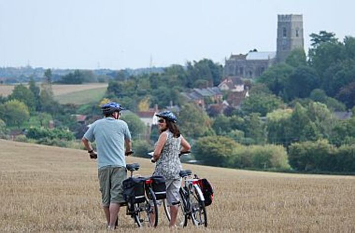
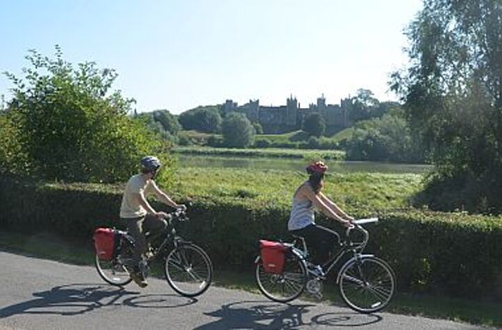
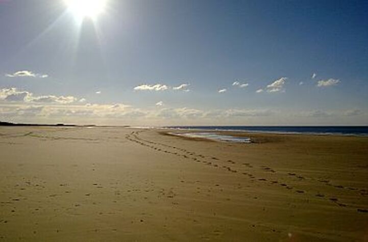
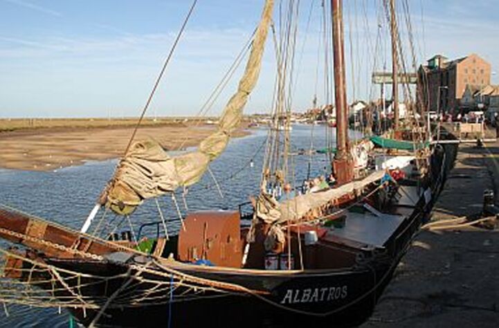
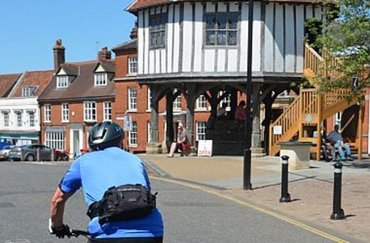
The section of the North Sea Cycle Route along the UK’s east coast is the longest in any country. In Norfolk, a stretch of the route was recently named the Lord Nelson Way after the county’s most famous son. It even passes through the village of his birth – Burnham Thorpe. Entering Lincolnshire, the route joins the mostly traffic-free Boston to Lincoln cycle route which features a fabulous art trail. The breath-taking Yorkshire and Northumberland coastlines offer castles, islands, cliffs and wide beaches all to yourself. To the north lies Scotland and the route takes in the country’s capital, Edinburgh, the lively university city of Dundee and Aberdeen, the ‘Granite City’.

EuroVelo 12 is ending in the Orkney Islands and the Shetland Islands. From the mainland to Orkney, there are ferries connecting John o' Groats to Burwick and another from Thurso to Stromness. To reach the Shetland Islands, you need to take the ferry connecting Kirkwall and Lerwick. Be careful: some ferries are only running during summer.

Find here the detailed tracks of of EuroVelo 12 - North Sea Cycle Route in the United Kingdom and start planning your next cycling holidays!

Countries

Legend

Development status
  • Certified These sections were awarded the official EuroVelo Certification label, ensuring high-quality cycling conditions.They were surveyed in the field by EuroVelo Route Inspectors to respect minimum requirements for motorised traffic levels, surface quality, EuroVelo signage, and access to services as defined by the European Certification Standard (ECS) methodology. EuroVelo Certified routes are the best options for beginners!
  • Developed + Signed These sections offer generally good cycling conditions, with limited motorised traffic, rideable surfaces, and EuroVelo signs along the route. Developed routes with signs are suitable for most cyclists. However, short stretches with lower-quality conditions may occur, and it is recommended to bring a map or navigation app as signs can have defects.
  • Developed + Not Signed These sections offer generally good cycling conditions, with limited motorised traffic and rideable surfaces, but without EuroVelo signs. Developed routes without signs are suitable for most cyclists. However, short stretches with lower-quality conditions may occur, and it is warmly recommended to bring a map or navigation app.
  • Partially Developed + Signed Cycling is possible here, but conditions vary. Some stretches may have high motorised traffic or poor surfaces, even though EuroVelo signs are in place. Partially developed routes with signs are suitable for experienced cyclists only, and it is recommended to bring a map or navigation app and check national/regional websites for more information. ECF and National EuroVelo Coordination Centres are working on improvements.
  • Partially Developed + Not Signed Cycling is possible here, but conditions vary. Some stretches may have high motorised traffic or poor surfaces, and EuroVelo signs are not in place. Partially developed routes without signs are suitable for experienced cyclists only, and it is warmly recommended to bring a map or navigation app and check national/regional websites for more information. ECF and National EuroVelo Coordination Centres are working on improvements.
  • Undeveloped / Unknown These sections do not meet minimum requirements for motorised traffic levels or surface quality – or their conditions are currently unknown. They may include dangerous stretches. Cyclists choosing to cycle there should use a map or navigation app and check national/regional websites for more information. It is recommended to use public transport to skip these areas where possible.
  • Public transport link These sections include continuity across seas or rivers and undeveloped parts of the network that can be skipped with a reliable public transport connection allowing bicycle transport.

Markers

  • Natural Heritage
  • UNESCO World Heritage Site
  • Cultural Heritage
  • Culinary Delights
  • Maritime Heritage / The Rhine / The Meuse
  • Other Point of Interest
  • Service
  • Bus station
  • Train station
  • Mobility info center

National & Regional Information

Sustrans

National EuroVelo Coordination Centre

Sustrans is the charity making it easier for people to walk and cycle in the UK. They manage the National Cycle Route Network, a UK-wide network of more than 16,000 miles of signed paths and routes. The National Cycle Network paths have been launched on OS Maps that you can access here. Sustrans is also the National EuroVelo Coordination Centre in the UK.

0117 926 8893
Visit Site

Dover - Shetland Islands on National Cycle Route 1

Further information on Sustrans' National Route 1, a long-distance cycle adventure stretching 1,695 miles through some of the UK’s most stunning scenery. EuroVelo 12 follows the route along the east coast and EuroVelo 5, from Caterbury to Dover.

Visit Site

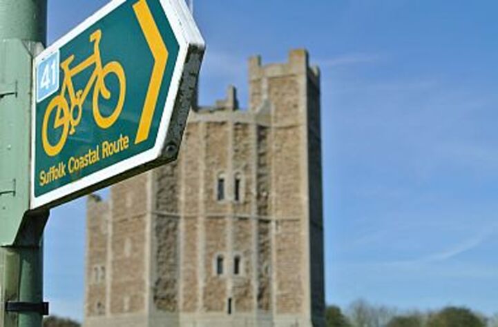
Route 1: Fakenham – Harwich

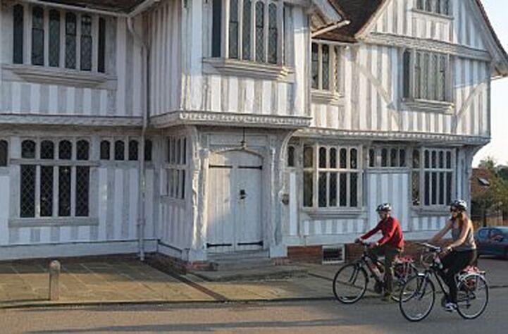
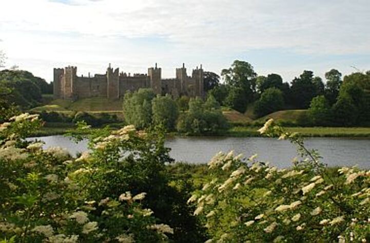
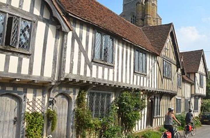
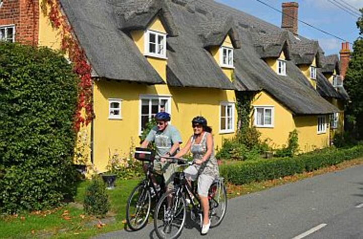
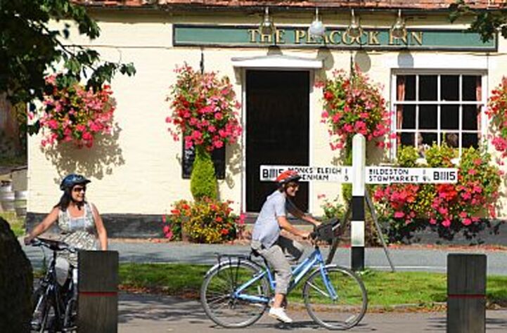
The route follows the Fakenham to Harwich route, which is also part of the North Sea Cycle Route; a 6,000 km chain of exciting experiences waiting for the cycling tourist to discover. The route is one of the flattest National Cycle Network routes and is the ideal way to experience the tranquil beauty of the East Anglian countryside.

Visit Site

Route 51: Harwich - Colchester

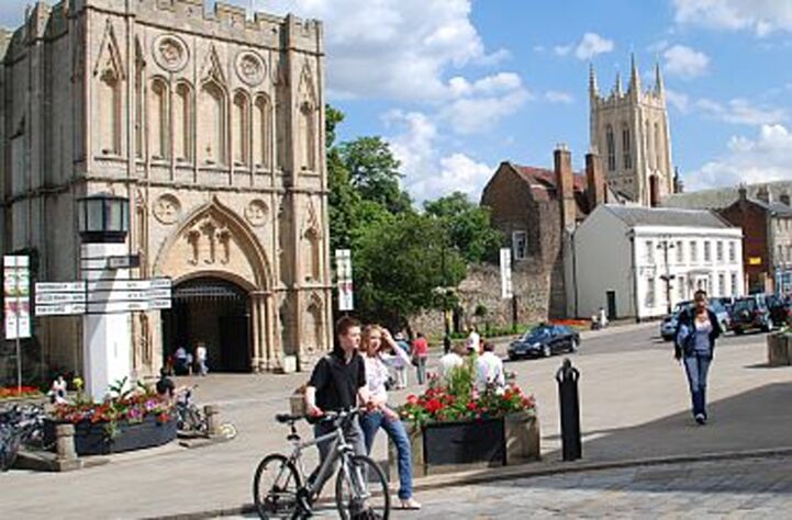
Following national route 51 you travel inland picking up the River Colne near Wivenhoe before arriving in Britain’s oldest recorded town, Colchester. Colchester attracts more than 4.5 million visitors each year so make time to explore its unique heritage and history.

Visit Site