Landelijk Fietsplatform
Landelijk Fietsplatform is responsible for the network of Langeafstand Fietsroutes (National Bicycle Routes). Information about all LF-routes can be found on the website hollandcyclingroutes.com.
[email protected]In the Netherlands the North Sea Cycle Route follows LF Kustroute (Coastal Route) between the Belgian en German border. The northern part of EuroVelo 12 displays panoramic polders, large farms with flocks of sheep and charming villages. It includes some sections through protected areas with impressive sand dunes where no motorised traffic is allowed. Further to the south the route crosses a series of islands that have been connected to each other by dams in the second part of the 20th century.
The route is signed in two directions.
Landelijk Fietsplatform is responsible for the network of Langeafstand Fietsroutes (National Bicycle Routes). Information about all LF-routes can be found on the website hollandcyclingroutes.com.
[email protected]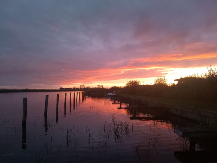
After several trips on EuroVelo routes over the last few years, Silvia Julian Gonzalez considers herself to be something of a EuroVelo collector. She spent the last summer on a fantastic adventure, travelling from Finland to Bretagne. Read her story from a summer full of memories.
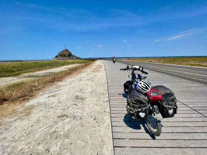
‘Mr Cycling Europe’ Andrew P. Sykes is a reference for English-speaking cycling tourism fans – and a great connoisseur of EuroVelo routes, too. In the summer of 2022, he went on a Grand Tour from Hook of Holland and back, following no less than four EuroVelo Routes. Join Andrew on his adventure.
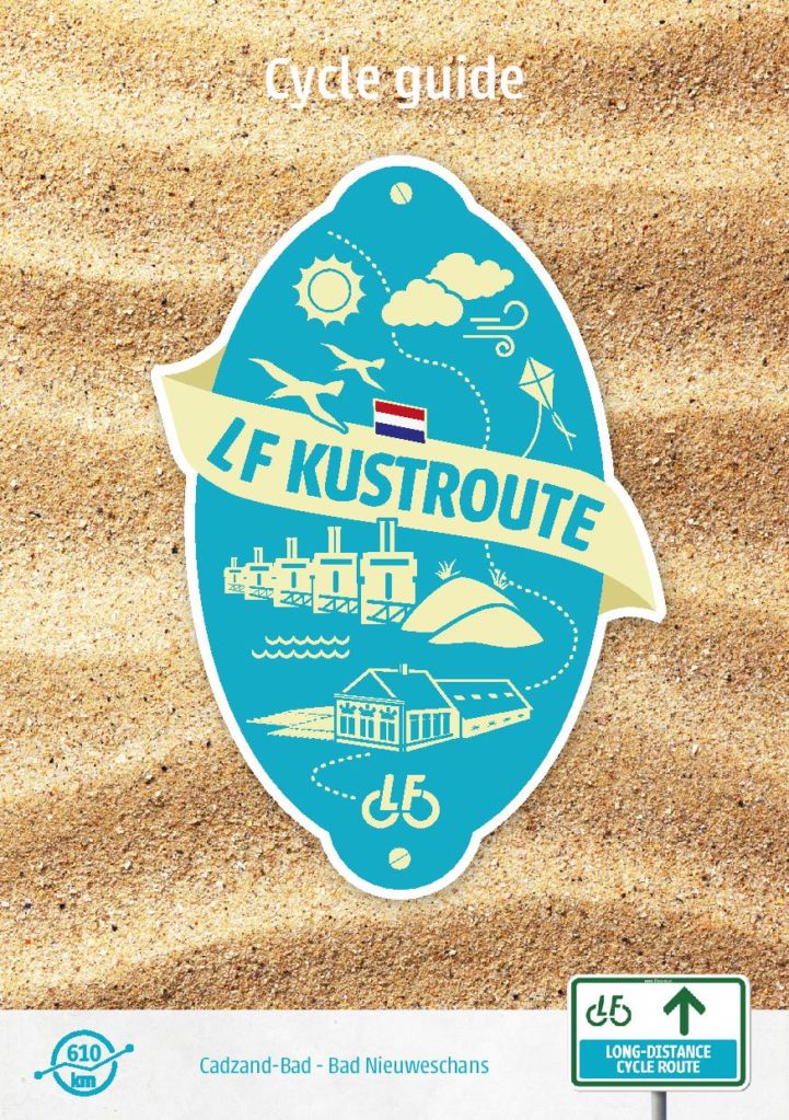
This cycling guide describes a 610 km long route from the border with Belgium at Cadzand-Bad until Bad Nieuweschans. It contains double-sided maps and a compact guide with inspiration, sights and information about the LF Kustroute.
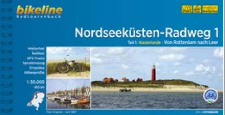
This cycling guide describes EuroVelo 12 in the Netherlands up to Rotterdam (527 km). The perfect tool before and during your journey: precise and informative maps, 1:50,000 scale, elevation and distance profiles, GPS tracks, accommodation and service directory. Can be used even without any knowledge of German. English translation of the map legend and the user manual of the guide available at esterbauer.com/international.