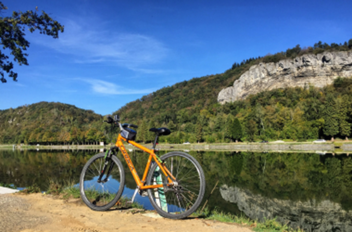
Starting from the fortified town of Langres, EuroVelo 19 – Meuse Cycle route is a journey through landscapes shaped by the river and through the history of Europe. In a peaceful village in Haute-Marne, the source of the Meuse is a must-see first stop. The route continues through the rolling hills of the Vosges, where cyclists can visit Domremy, the birthplace of Joan of Arc. Following the river downstream, the route reaches Verdun, a town etched in history by the Battle of Verdun during World War I. Continuing north, the Meuse flows into the Ardennes, passing Sedan with its sprawling medieval castle, the largest in Europe, and Charleville-Mézières, renowned for its elegant 17th-century Place Ducale. Near the Belgian border, the fortified town of Givet and its striking Fort of Charlemont bring this richly historical ride to a close.
Download here the full GPS tracks of EuroVelo 19 – Meuse Cycle Route in France and start planning your next cycling trip!
Countries
Legend
Development status
Certified
These sections were awarded the official EuroVelo Certification label, ensuring high-quality
cycling conditions.They were surveyed in the field by EuroVelo Route Inspectors to respect
minimum requirements for motorised traffic levels, surface quality, EuroVelo signage,
and access to services as defined by the European Certification Standard (ECS) methodology.
EuroVelo Certified routes are the best options for beginners!
Developed + Signed
These sections offer generally good cycling conditions, with limited motorised traffic, rideable
surfaces, and EuroVelo signs along the route. Developed routes with signs are suitable for most
cyclists. However, short stretches with lower-quality conditions may occur, and it is recommended
to bring a map or navigation app as signs can have defects.
Developed + Not Signed
These sections offer generally good cycling conditions, with limited motorised traffic and
rideable surfaces, but without EuroVelo signs. Developed routes without signs are suitable for
most cyclists. However, short stretches with lower-quality conditions may occur, and it is
warmly recommended to bring a map or navigation app.
Partially Developed + Signed
Cycling is possible here, but conditions vary. Some stretches may have high motorised traffic
or poor surfaces, even though EuroVelo signs are in place. Partially developed routes with
signs are suitable for experienced cyclists only, and it is recommended to bring a map or
navigation app and check national/regional websites for more information. ECF and National
EuroVelo Coordination Centres are working on improvements.
Partially Developed + Not Signed
Cycling is possible here, but conditions vary. Some stretches may have high motorised traffic
or poor surfaces, and EuroVelo signs are not in place. Partially developed routes without signs
are suitable for experienced cyclists only, and it is warmly recommended to bring a map or
navigation app and check national/regional websites for more information. ECF and National
EuroVelo Coordination Centres are working on improvements.
Undeveloped / Unknown
These sections do not meet minimum requirements for motorised traffic levels or surface quality – or
their conditions are currently unknown. They may include dangerous stretches. Cyclists choosing
to cycle there should use a map or navigation app and check national/regional websites for more
information. It is recommended to use public transport to skip these areas where possible.
Public transport link
These sections include continuity across seas or rivers and undeveloped parts of the network
that can be skipped with a reliable public transport connection allowing bicycle transport.
Markers
Natural Heritage
UNESCO World Heritage Site
Cultural Heritage
Culinary Delights
Maritime Heritage / The Rhine / The Meuse
Other Point of Interest
Service
Bus station
Train station
Mobility info center
National & Regional Information
Réseau vélo et marche
National EuroVelo Coordination Centre
Réseau vélo et marche is a network of local authorities committed to the development of active mobility in France. Since 2011, it has operated as national coordination centre for EuroVelo in France, monitoring the development of the European cycle route network at the national level.
France Vélo Tourisme platform offers many major cycling routes and destinations in France, including mountain bike routes, practical advices for traveling by bike, a route calculator with a map, as well as contact details for Accueil Vélo service providers throughout the country.
"Accueil Velo" is a national accreditation scheme guaranteeing a high quality of services for cyclists using French cycle routes. You will find accommodations, bike rental and repair companies, restaurants, tourist offices and places to visit.
International route of more than 1000 km, the Meuse by bike, EuroVelo 19, follows the river from its source near Langres to its mouth in the Netherlands where it joins the Rhine delta. Over its 36 stages, the Meuse reveals itself in all its facets, it extends over a landscape that changes and accompanies it. Discovering the oldest river in Europe by bike, that's what awaits you!
Discover Eastern France destinations : Alsace, Champage, Lorraine, Vosges and Ardenne. Wide open natural spaces ideal for relaxing and active holidays alike, prestigious heritage and cultural sites, age-old knowhow, world-famous cuisine… the Grand Est promises you a complete getaway right in the heart of Europe.
With over one hectare of forest per inhabitant, the Haute-Marne is a rambler’s paradise. On foot, horseback or mountain bike, head deep into the heart of the forests, follow the canal or go round lakes to discover the wildlife. But you can also learn about the history of the region, and taste some of the many local products: cheeses, truffles, game, wine and, of course, champagne!
A rural destination steeped in history, where the silence lets you listen to the musicality of nature, of the Meuse River and of the other watercourses that weave their way through the landscape. A nature characterized by the presence of limestone grasslands with a southern feel, where orchids and butterflies flutter about. Discover the land of Joan of Arc, the heroine of an extraordinary destiny, and the town of Neufchâteau, with over 1000 years of history.
Let's discover the Meuse along EuroVelo 19?
Start your journey in the footsteps of Joan of Arc in Vaucouleurs before stopping off in Commercy to taste some delicious madeleines.
On your way, walk through the exceptional forest of Verdun, which will take you back to the heart of the battlefield and the history of the First World War.
A saving foam, with local flavours, will be waiting for you in Stenay to end this Meuse journey.
When we mention the Ardennes, thoughts obviously turn to the poet Rimbaud, to puppets and the world famous festival held at Charleville-Mézières and to the Meuse river which passes through the Ardennes mountains, the magnificent green tracks which run alongside it and the view points that are dotted along its length. What's more, in this region the food is very good and fun is always just around the corner… Discover the unmissable sights and events of the Ardennes !
Over 31 km from Maxey-sur-Meuse to Neufchâteau, the Vosges section of the «Meuse à vélo» offers a historic discovery: pass by the birthplace of Joan of Arc in Domremy-la-Pucelle, do not miss the Bois Chenu Basilica and end with a visit to the historic town centre of Neufchâteau.