Four EuroVelo routes, four rivers: Joseph's first big cycling trip
Feb 3, 2026
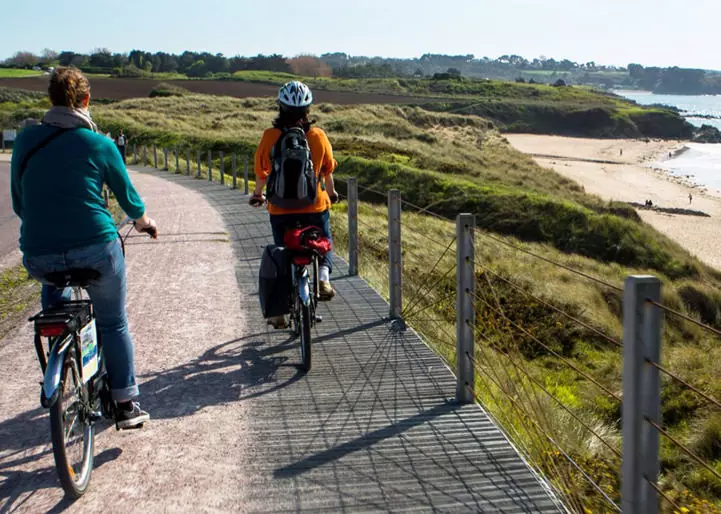
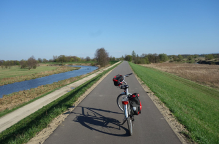
In the summer of 2025, Joseph Lark set off on his first big cycling journey, ready to explore Europe and discover what it truly means to travel by bicycle. He planned a large loop heading east, following a combination of four EuroVelo routes through six countries. What began as an idea with few det…