Future EuroVelo 21 to link Belgrade to Shkodër via Bosnia and Herzegovina and Montenegro
Jun 3, 2026
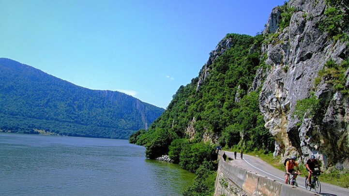
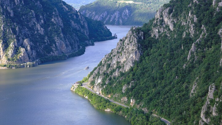
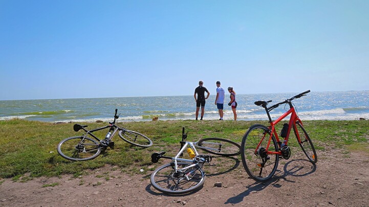
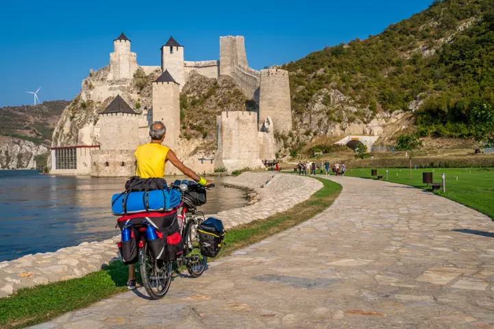
The European Cyclists’ Federation (ECF) is pleased to announce the next proposed EuroVelo route: the future EuroVelo 21 is set to expand the network in South-Eastern Europe and create a link between the Danube and the Adriatic. The route will connect Serbia, Bosnia and Herzegovina, Montenegro and A…